![]()
![]()


The map in Chapter 5 showed that the terrain of the Niigata Plain has remained basically unchanged since around 1089. This map, being filled in with current urban buildings, homes, roads, and railways of Niigata City, corresponds to the present state of the area. However, please be noted once again that the terrain has not changed at all. The approximately 10,000 hectares once known as the unmapped lake (equivalent to the four area's of the wards of Tokyo) still lie below sea level today.
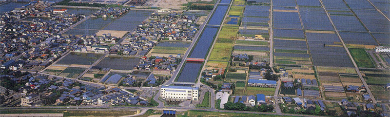
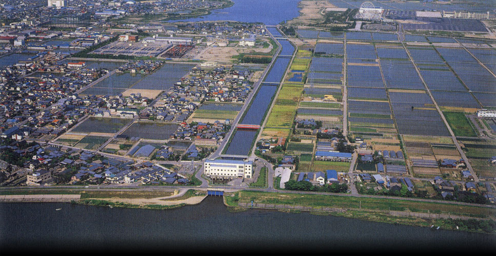
Although not well known publicly, the Shinkawa-kako Drainage Pump Station, Niigou River Drainage Pump Station, Oyamatsu Drainage Pump Station and Shirone Drainage Pump Station are just some of the numerous agricultural drainage pump facilities in the Niigata Plain. If these were to stop their operation, the vast 20,000 hectares including JR Niigata Station and the surrounding shopping and business districts would be under water.
The above four stations discharge 450m3 of water per second, which is equivalent to the average flow of Shinano river, Japan’s largest river, and about twice that of Tone River (240 m3 per second). To put it differently, just the above four facilities are capable of discharging as much water as the largest river in Japan.
In other words, these pump stations which farmers have provided exert tremendous force to drain the area 24 hours a day and barely to manage to protect Niigata Plain from being inundated.
Agriculture created the Niigata Plain. And even now, agriculture sustains it.
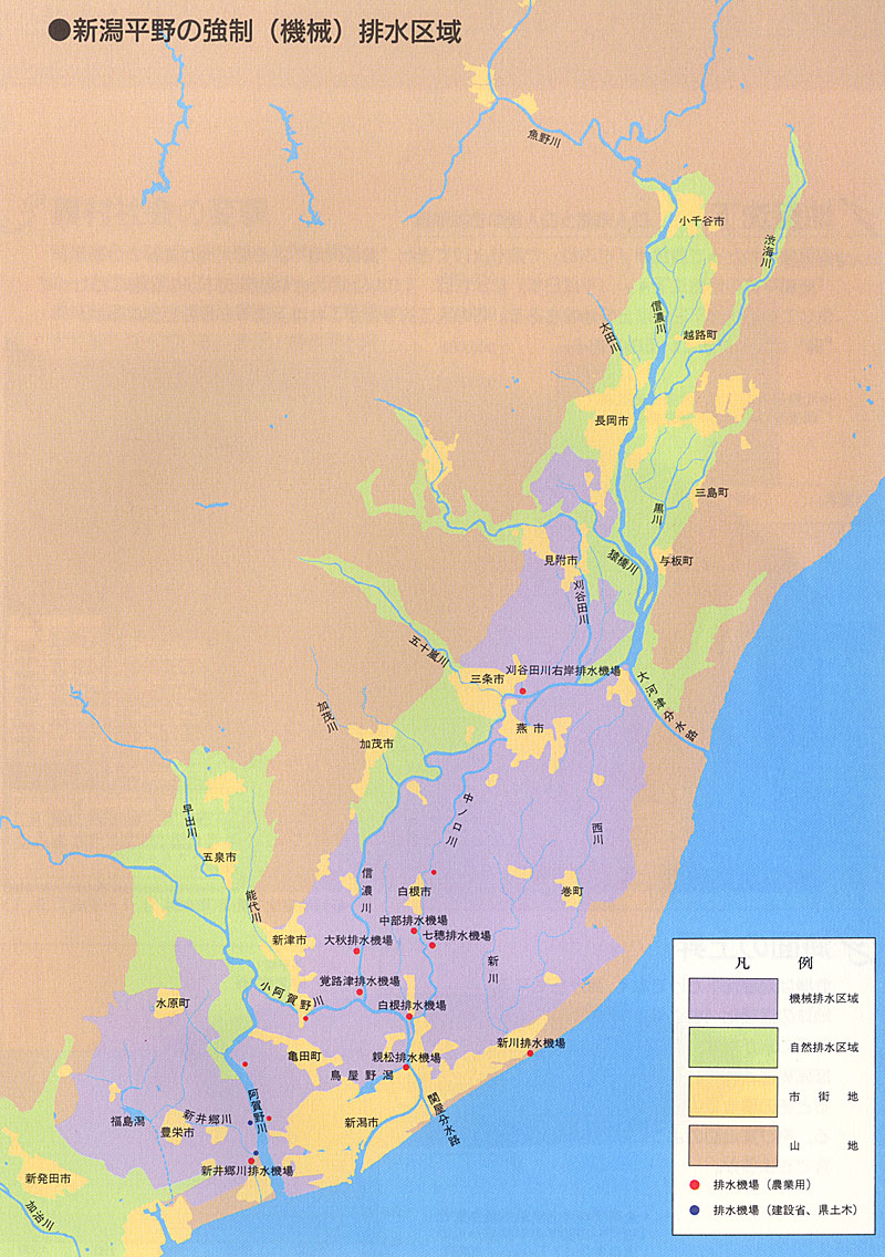
Forced (Mechanical) Drainage Areas in the Niigata Plain